Ashland (Montana)
Ashland ist eine Ortschaft (Census-designated place) im Rosebud County im US-Bundesstaat Montana, Vereinigte Staaten.
| Ashland | |
|---|---|
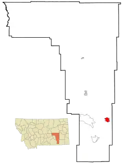 Lage in Montana | |
| Basisdaten | |
| Staat: | Vereinigte Staaten |
| Bundesstaat: | Montana |
| County: | Rosebud County |
| Koordinaten: | 45° 36′ N, 106° 17′ W |
| Zeitzone: | Mountain (UTC−7/−6) |
| Einwohner: | 773 (Stand: 2020) |
| Fläche: | 19,6 km² (ca. 8 mi²) |
| Höhe: | 890 m |
| Postleitzahlen: | 59003 - 59004 |
| Vorwahl: | +1 406 |
| FIPS: | 30-02800 |
| GNIS-ID: | 0802003 |
Der Ort liegt direkt östlich des Northern Cheyenne Indian Reservation der Nördliche Cheyenne im Custer National Forest.
Der indianische Name lautet Vóhkoohémâhoéve'ho'éno.
This article is issued from Wikipedia. The text is licensed under Creative Commons - Attribution - Sharealike. The authors of the article are listed here. Additional terms may apply for the media files, click on images to show image meta data.