Admiralty Island (Nunavut)
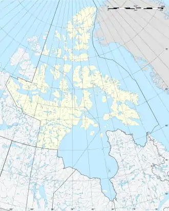
Admiralty Island (engl. für „Admiralitäts-Insel“, Inuktitut Qikiqtagafaaluk[1]) ist eine unbewohnte, irregulär geformte arktische Insel in der Kitikmeot-Region des kanadischen Territoriums Nunavut. Sie liegt in der Victoria Strait, südlich der Collinson Peninsula von Victoria Island und östlich der Albert Edward Bay. Die Fläche der Insel beträgt 171 km²,[2] nach anderen Quellen 173,6 km².[3]
| Admiralty Island / Qikiqtagafaaluk | ||
|---|---|---|
| Gewässer | Victoria Strait | |
| Inselgruppe | Kanadisch-arktischer Archipel | |
| Geographische Lage | 69° 28′ N, 101° 10′ W | |
| ||
| Länge | 24,9 km | |
| Breite | 9 km | |
| Fläche | 171 km² | |
| Höchste Erhebung | 18 m | |
| Einwohner | unbewohnt | |
Einzelnachweise
- Darren Keith: Inuit Qaujimaningit Nanurnut Inuit Knowledge of Polar Bears (PDF; 7,0 MB). Gjoa Haven Hunters’ and Trappers’ Organization and CCI Press, 2005, Appendix 5.
- The Atlas of Canada – Sea Islands (Memento vom 6. Oktober 2012 im Internet Archive) (englisch)
- UN System-Wide Earth Watch Web Site - Admiralty
This article is issued from Wikipedia. The text is licensed under Creative Commons - Attribution - Sharealike. The authors of the article are listed here. Additional terms may apply for the media files, click on images to show image meta data.