Yoshii (Fluss)
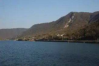
Der Fluss Yoshii (japanisch 吉井川 Yoshii-gawa) ist ein Fluss in der Präfektur Okayama in Japan mit einer Länge von 133 km. Er gehört neben dem Asahi und Takahashi zu den drei Hauptflüssen der Präfektur und mündet wie diese in die Seto-Inlandsee. Der Yoshii ist ein Klasse-A Fluss nach der Größenklassifizierung des Japanischen Ministeriums für Land, Infrastruktur, Transport und Tourismus.
| Yoshii | ||
 | ||
| Daten | ||
| Lage | Präfektur Okayama | |
| Flusssystem | Yoshiigawa-Flusssystem | |
| Quelle | Mikuni-yama 35° 17′ 25″ N, 133° 56′ 46″ O | |
| Quellhöhe | 1252 m | |
| Mündung | Seto-Inlandsee 34° 36′ 15″ N, 134° 2′ 16″ O | |
| Mündungshöhe | 0 m | |
| Höhenunterschied | 1252 m | |
| Sohlgefälle | 9,4 ‰ | |
| Länge | 133 km[1] | |
| Einzugsgebiet | 2110 km²[1] | |
| Einwohner im Einzugsgebiet | ca. 280000 | |
Einzelnachweise
- Informationen des Ministeriums für Land, Infrastruktur, Transport und Tourismus. Abgerufen am 24. April 2019 (jp).
Weblinks
Commons: Yoshii River – Sammlung von Bildern, Videos und Audiodateien
This article is issued from Wikipedia. The text is licensed under Creative Commons - Attribution - Sharealike. The authors of the article are listed here. Additional terms may apply for the media files, click on images to show image meta data.