Wolfhole Crag
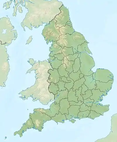
Der Wolfhole Crag ist ein Berg im Forest of Bowland in Lancashire, England. Der Berg ist in Ost-West-Richtung langgestreckt und hat bei einer Höhe von 527 m nur eine Schartenhöhe von 40 m.
| Wolfhole Crag | ||
|---|---|---|
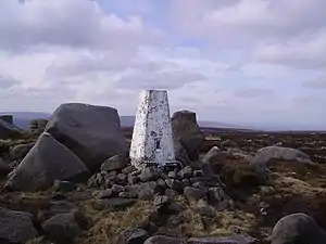
Trigonometrischer Punkt auf dem Wolfhole Crag | ||
| Höhe | 527 m | |
| Lage | Lancashire, England | |
| Koordinaten | 54° 1′ 0″ N, 2° 33′ 58″ W | |
| ||
| Besonderheiten | Der geographische Mittelpunkt Großbritanniens (einschließlich der Inseln) liegt am Südhang des Berges | |
Die Ordnance Survey hat 2002 festgestellt, dass der geographische Mittelpunkt Großbritanniens unter Einschluss aller Inseln am Südhang des Wolfhole Crag liegt. Der Punkt ist in keiner Weise markiert und auch kein besonders herausragender Punkt in der Landschaft.(54° 0′ 13,2″ N, 2° 32′ 52,3″ W)[1]
Der geographische Mittelpunkt unter Ausschluss der Inseln liegt laut der Ordnance Survey am Calderstone Hospital am Rand des Ortes Whalley (OS Grid reference SD7232136671)[2]
Nachweise
- Stuck in the middle with ewe BBC News 20. Oktober 2002
- Ordnance MapZone Frage: Where is the centre of mainland Great Britain?
This article is issued from Wikipedia. The text is licensed under Creative Commons - Attribution - Sharealike. The authors of the article are listed here. Additional terms may apply for the media files, click on images to show image meta data.