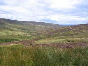
White Hill (Forest of Bowland)
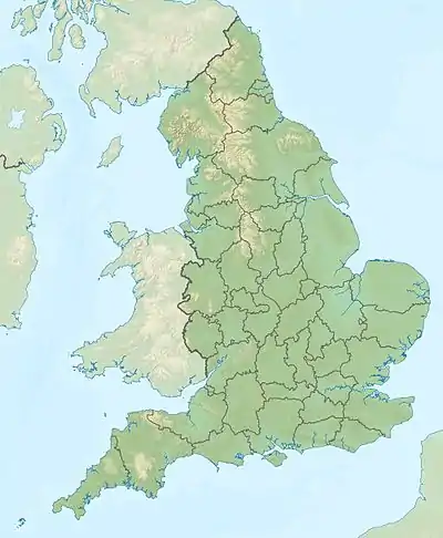
Der White Hill ist ein Berg im Forest of Bowland in Lancashire, England. Der White Hill hat eine Schartenhöhe von 159 m bei einer Gesamthöhe von 544 m. Auf dem Gipfel des Berges befindet sich ein Trigonometrischer Punkt.
| White Hill | ||
|---|---|---|
Im Forest of Bowland | ||
| Höhe | 544 m | |
| Lage | Lancashire, England | |
| Koordinaten | 54° 1′ 24″ N, 2° 30′ 2″ W | |
| ||
| Typ | Marilyn | |
Im Mittelalter markierte der White Hill den nördlichsten Punkt der Lordship des Forest of Bowland.
Der Whitendale River sowie der River Hodder und sein Nebenfluss der Croasdale Brook entspringen am White Hill.
Weblink
This article is issued from Wikipedia. The text is licensed under Creative Commons - Attribution - Sharealike. The authors of the article are listed here. Additional terms may apply for the media files, click on images to show image meta data.