Wayatinah Lagoon
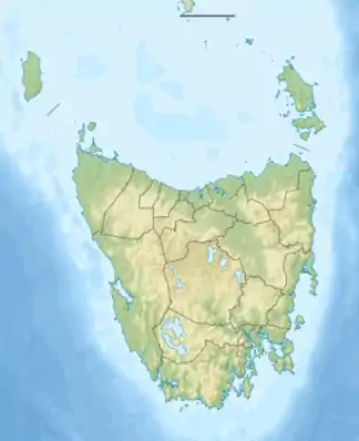
Die Wayatinah Lagoon ist ein Stausee im Zentrum des australischen Bundesstaates Tasmanien, ca. 37 km südöstlich von Derwent Bridge. Sie liegt im Verlauf des Derwent River, dort, wo der Nive River einmündet.
| Wayatinah Lagoon | |||||||||
|---|---|---|---|---|---|---|---|---|---|
| |||||||||
| |||||||||
| Koordinaten | 42° 24′ 2″ S, 146° 29′ 51″ O | ||||||||
| Daten zum Bauwerk | |||||||||
| Daten zum Stausee | |||||||||
| Höhenlage (bei Stauziel) | 230 m | ||||||||
| Wasseroberfläche | 2,4 km² | ||||||||
| Stauseelänge | 2,5 km | ||||||||
| Stauseebreite | 900 m | ||||||||
Der Stausee liegt unmittelbar östlich des Franklin-Gordon-Wild-Rivers-Nationalpark und unmittelbar südlich des Lyell Highway.
Das Wasser dient an der Liapootah Power Station zur Stromerzeugung.
Weblinks und Quellen
- Wayatinah Lagoon – TAS. ExplorOz.com
- Map of Wayatinah Lagoon, TAS. Bonzle.com
- Steve Parish: Australian Touring Atlas. Steve Parish Publishing Pty. Ltd. Archerfield QLD (2007). ISBN 978-1-74193-232-4. S. 58
This article is issued from Wikipedia. The text is licensed under Creative Commons - Attribution - Sharealike. The authors of the article are listed here. Additional terms may apply for the media files, click on images to show image meta data.
