Ward’s Stone
Der Ward's Stone ist die höchste Erhebung im Forest of Bowland und damit auch der höchste Berg, der vollständig im gegenwärtigen Lancashire, England liegt. Der Berg hat bei einer Höhe von 561 m eine Schartenhöhe von 395 m.
| Ward’s Stone | ||
|---|---|---|
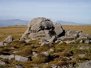
Der Gipfel des Ward’s Stone mit Ingleborough rechts im Hintergrund | ||
| Höhe | 561 m | |
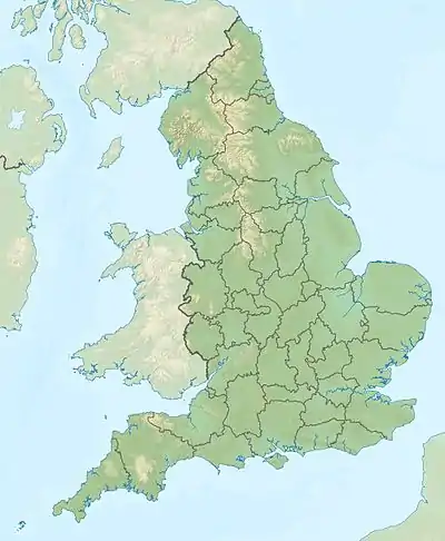
| Lage | Lancashire, England | |
| Koordinaten | 54° 1′ 22″ N, 2° 37′ 27″ W | |
| ||
| Typ | Marilyn | |
Das Gipfelplateau des Ward's Stone ist langgestreckt und hat zwei trigonometrische Punkte, die einen Kilometer voneinander entfernt sind.
Weblink
This article is issued from Wikipedia. The text is licensed under Creative Commons - Attribution - Sharealike. The authors of the article are listed here. Additional terms may apply for the media files, click on images to show image meta data.