Vanderlin Island
Vanderlin Island ist die größte Insel der Sir-Edward-Pellew-Inseln. Die Inselgruppe liegt im Northern Territory von Australien.
| Vanderlin Island | ||
|---|---|---|
 Landsat-Bild von Vanderlin Island | ||
| Gewässer | Golf von Carpentaria | |
| Inselgruppe | Sir-Edward-Pellew-Inseln | |
| Geographische Lage | 15° 43′ S, 137° 1′ O | |
| ||
| Länge | 30 km | |
| Breite | 11 km | |
| Fläche | 264 km² | |
| Höchste Erhebung | 87 m | |
| Einwohner | rund 20 <1 Einw./km² | |
| Hauptort | Uguie | |
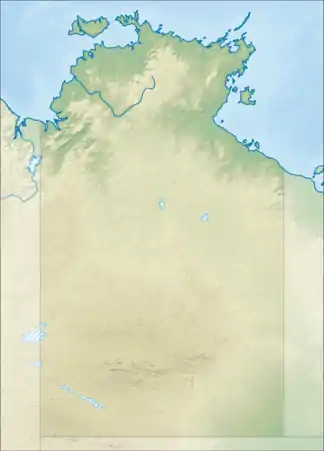
 Kartenskizze der Vanderlin Island | ||
Geographie
Die Insel ist felsig und stark zerklüftet.
Die einzigen Siedlungen sind vier family outstations an der Westküste, von Nord nach Süd:[1][2]
Literatur
- Robin Sim, Lynley A. Wallis: Northern Australian Offshore Island Use During The Holocene: The Archaeology of Vanderlin Island, Sir Edward Pellew Group, Gulf of Carpentaria. In: Australian ARCHAEOLOGY. Nr. 67, Dezember 2008, S. 95–102 (flinders.edu.au PDF).
Einzelnachweise
- Roper Gulf Shire: New Ward Boundaries (PDF; 1,5 MB).
- BushTel: Roper Golf Council, Family Outstations.
- BushTel: Mooloowa.
- BushTel: Babungi.
- BushTel: Yulbara.
- BushTel: Uguie.
- NT Place Names Register: Uguie.
This article is issued from Wikipedia. The text is licensed under Creative Commons - Attribution - Sharealike. The authors of the article are listed here. Additional terms may apply for the media files, click on images to show image meta data.