Torlesse-Inseln
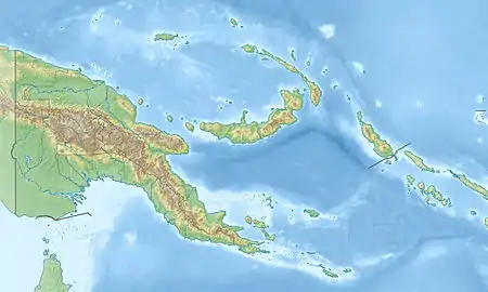
Die Torlesse-Inseln sind eine unbewohnte Inselgruppe in der Salomonensee. Politisch gehören sie zur Provinz Milne Bay im südöstlichen Bereich von Papua-Neuguinea. Sie befinden sich 13 km von Misima und 5 km westlich der Deboyne-Inseln. Die aggregierte Landfläche der sieben Inseln beträgt 2,08 km².
| Torlesse-Inseln | ||
|---|---|---|
.jpg.webp) NASA-Sat.-Bild der Torlesse-Inseln | ||
| Gewässer | Salomonensee | |
| Archipel | Louisiade-Archipel | |
| Geographische Lage | 10° 49′ S, 152° 11′ O | |
| ||
| Anzahl der Inseln | 7 | |
| Hauptinsel | Pananiu | |
| Gesamte Landfläche | 2,08 km² | |
| Einwohner | unbewohnt | |
Tabelle der Inseln
Übersicht der Torlesse-Inseln:
![]() Karte mit allen Koordinaten: OSM | WikiMap
Karte mit allen Koordinaten: OSM | WikiMap
| Inselname | Koordinaten | Fläche km² |
|---|---|---|
| Pananiu | 10° 49′ S, 152° 11′ O | 0,86 |
| Bonna Bonnawan | 10° 48′ S, 152° 12′ O | 0,18 |
| südlichste Insel (unbenannt) | 10° 49′ S, 152° 13′ O | 0,03 |
| Insel (unbenannt) | 10° 49′ S, 152° 13′ O | 0,01 |
| Tinolan | 10° 48′ S, 152° 13′ O | 0,80 |
| Insel (unbenannt) | 10° 49′ S, 152° 13′ O | 0,05 |
| Rerihol | 10° 49′ S, 152° 14′ O | 0,15 |
Weblinks
- Torlesse Atoll, Papua New Guinea auf Panoramio
- Deboyne Islands mit Torlesse Islands, Oceandots.com (weitere Infos & Bilder) (Memento vom 23. Dezember 2010 im Internet Archive) (engl.)
This article is issued from Wikipedia. The text is licensed under Creative Commons - Attribution - Sharealike. The authors of the article are listed here. Additional terms may apply for the media files, click on images to show image meta data.
