Tinhosa Pequena
Tinhosa Pequena ist ein zum Inselstaat São Tomé und Príncipe gehörendes, unbewohntes Eiland von etwa fünf Hektar Fläche im Golf von Guinea. Das Eiland befindet sich 126 Kilometer nordwestlich der Hauptinsel São Tomé und 20 Kilometer südwestlich der zweitgrößten Insel Príncipe. 4,2 km südlich von Tinhosa Pequena befindet sich die größere, aber nicht so hohe Insel Tinhosa Grande.
| Tinhosa Pequena | ||
|---|---|---|
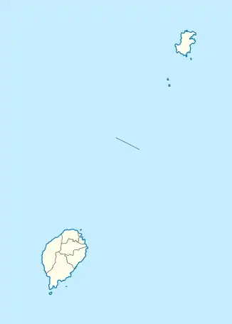
 Die dritte Teilkarte zeigt die beiden Tinhosa-Inseln südlich von Principé | ||
| Gewässer | Golf von Guinea | |
| Inselgruppe | Pedras Tinhosas | |
| Geographische Lage | 1° 22′ 58″ N, 7° 16′ 59″ O | |
| ||
| Länge | 310 m | |
| Breite | 210 m | |
| Fläche | 5 ha | |
| Höchste Erhebung | 64 m | |
| Einwohner | unbewohnt | |
Die höchste Erhebung erreicht 64 Meter.[1] Das Eiland ist deutlich von Principé aus zu erkennen und manchmal auch von São Tomé.
Nähe zu weiteren Inseln
- Príncipe, 23 Kilometer nordöstlich
- Tinhosa Grande, 4,2 km ostsüdöstlich
- São Tomé, 123 Kilometer südwestlich
This article is issued from Wikipedia. The text is licensed under Creative Commons - Attribution - Sharealike. The authors of the article are listed here. Additional terms may apply for the media files, click on images to show image meta data.