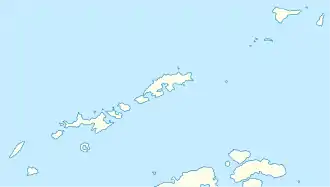
The Tower (Südliche Shetlandinseln)
The Tower (französisch La Tour, beiderseits übersetzt Der Turm, in Argentinien Pico La Torre, in Chile Cerro La Tour) ist ein 345 m (laut UK Antarctic Place-Names Committee rund 365 m) hoher und abgesehen vom Gipfel verschneiter Berg auf King George Island im Archipel der Südlichen Shetlandinseln. Er ragt unmittelbar westlich des Demay Point an der Westseite der Einfahrt zur Admiralty Bay auf.
| The Tower | ||
|---|---|---|
| Höhe | 345 m | |
| Lage | King George Island, Südliche Shetlandinseln | |
| Koordinaten | 62° 12′ 53″ S, 58° 28′ 44″ W | |
| ||
Teilnehmer der Fünften Französischen Antarktisexpedition (1908–1910) unter der Leitung des Polarforschers Jean-Baptiste Charcot kartierten und benannten ihn. Das Advisory Committee on Antarctic Names übertrug diese Benennung 1952 ins Englische.
Weblinks
- The Tower im Geographic Names Information System des United States Geological Survey (englisch)
- The Tower auf geographic.org (englisch)
This article is issued from Wikipedia. The text is licensed under Creative Commons - Attribution - Sharealike. The authors of the article are listed here. Additional terms may apply for the media files, click on images to show image meta data.
