The Cheviot
The Cheviot ist die höchste Erhebung der Cheviot Hills in Northumberland, England. Der Berg mit einer Schartenhöhe von 556 Metern liegt im Northumberland-Nationalpark.
| The Cheviot | ||
|---|---|---|
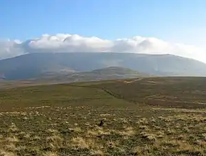
The Cheviot (im Hintergrund) und Coldburn Hill (im Vordergrund) | ||
| Höhe | 852 m ASL | |
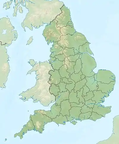
| Lage | Northumberland, England | |
| Gebirge | Cheviot Hills | |
| Koordinaten | 55° 28′ 15″ N, 2° 8′ 40″ W | |
| ||
| Typ | Marylin | |
Ein Abstecher des Pennine Way führt auf das flache Gipfelplateau des Berges, der die letzte Erhebung vor dem nördlichen Ende des Weges in Kirk Yetholm darstellt. Auf dem Gipfel befindet sich ein Trigonometrischer Punkt.
This article is issued from Wikipedia. The text is licensed under Creative Commons - Attribution - Sharealike. The authors of the article are listed here. Additional terms may apply for the media files, click on images to show image meta data.