Tepi
Der Tepi, dessen Krater auch unter dem Namen Bishan Waka bekannt ist, ist ein dicht bewaldeter basaltischer Schildvulkan. Er befindet sich im Süden Äthiopiens ca. 300 km westlich des Großen Afrikanischen Grabenbruchs.[1][2] Der Vulkan stammt mutmaßlich aus dem Holozän.[3] Rund um den großen Vulkan gibt es kleinere Krater und heiße Quellen. In einigen umgebenden Tälern lässt sich Lava finden.[4] Um den Vulkan herum befindet sich ein vulkanisches Gebiet, das man auch als Tepi volcanic field bezeichnet.[5]
| Tepi | ||
|---|---|---|
 | ||
| Höhe | 2728 m | |
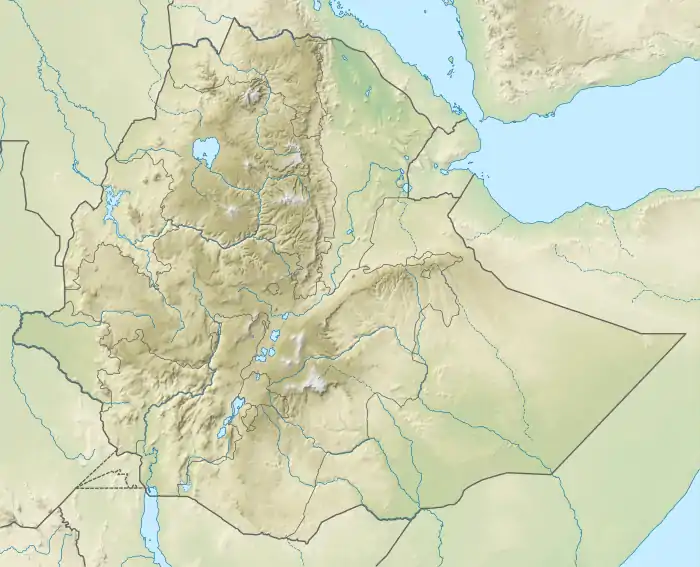
| Lage | Äthiopien | |
| Koordinaten | 7° 25′ 12″ N, 35° 25′ 48″ O | |
| ||
| Typ | Schildvulkan | |
| Gestein | Basalt | |
| Letzte Eruption | unbekannt | |
Einzelnachweise
- Global Volcanism Program | Tepi. Abgerufen am 3. August 2019.
- AI, IKIS, ZAD EH, und I. L. Y. A. Z. A. L. I. AP IN.: Hazards, Disaster. Hrsg.: Cambridge, University Press. Cambridge, S. 169–199.
- DAVIDSON, Anthony: The Omo river project, reconnaissance geology and geochemistry of parts of Ilubabor, Kefa, Gemu Gofa and Sidamo, Ethiopia. In: Ethiop. Inst. Geol. Surv. Band 2, 1983, S. 1–89.
- Dereje Ayalew, B. Marty, P. Barbey, Gezahegn Yirgu, Endale Ketefo: Sub-lithospheric source for Quaternary alkaline Tepi shield, southwest Ethiopia. In: GEOCHEMICAL JOURNAL. Band 40, Nr. 1, 2006, ISSN 0016-7002, S. 47–56, doi:10.2343/geochemj.40.47 (jst.go.jp [abgerufen am 3. August 2019]).
- Giacomo Corti, Federico Sani, Samuele Agostini, Melody Philippon, Dimitrios Sokoutis: Off-axis volcano-tectonic activity during continental rifting: Insights from the transversal Goba-Bonga lineament, Main Ethiopian Rift (East Africa). In: Tectonophysics. Band 728-729, März 2018, S. 75–91, doi:10.1016/j.tecto.2018.02.011 (elsevier.com [abgerufen am 3. August 2019]).
This article is issued from Wikipedia. The text is licensed under Creative Commons - Attribution - Sharealike. The authors of the article are listed here. Additional terms may apply for the media files, click on images to show image meta data.