Taylor Point
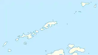
Der Taylor Point ist eine felsige Landspitze an der Ostküste von King George Island im Archipel der Südlichen Shetlandinseln. Sie bildet die nördliche Begrenzung der Destruction Bay.
| Taylor Point | ||
| Geographische Lage | ||
| ||
| Koordinaten | 61° 56′ S, 57° 39′ W | |
| Lage | King George Island (Südliche Shetlandinseln) | |
| Gewässer | Bransfieldstraße | |
| Gewässer 2 | Destruction Bay | |
Das UK Antarctic Place-Names Committee benannte sie am 23. September 1960. Namensgeber ist Kapitän Daniel Taylor, der mit dem Robbenfänger Caroline aus Hobart zwischen 1821 und 1822 in den Gewässern um die Südlichen Shetlandinseln operiert hatte.
Weblinks
- Taylor Point im Geographic Names Information System des United States Geological Survey (englisch)
- Taylor Point auf geographic.org (englisch)
This article is issued from Wikipedia. The text is licensed under Creative Commons - Attribution - Sharealike. The authors of the article are listed here. Additional terms may apply for the media files, click on images to show image meta data.
