Stigant Point
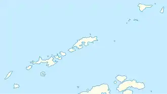
Der Stigant Point ist eine markante und 65 m hohe Landspitze auf King George Island im Archipel der Südlichen Shetlandinseln. Sie liegt 10 km südwestlich des Davey Point an der Johannes-Paul-II.-Küste und markiert die nordöstliche Begrenzung der Einfahrt zur Grzybowski Bay.
| Stigant Point | ||
| Geographische Lage | ||
| ||
| Koordinaten | 62° 1′ S, 58° 43′ W | |
| Lage | King George Island (Südliche Shetlandinseln) | |
| Küste | Johannes-Paul-II.-Küste | |
| Gewässer | Drakestraße | |
| Gewässer 2 | Grzybowski Bay | |
Kartiert wurde die Landspitze 1935 von Wissenschaftlern der britischen Discovery Investigations. Namensgeber ist George Bertie Stigant (1889–1973), Kartograf des United Kingdom Hydrographic Office zwischen 1935 und 1951.
Weblinks
- Stigant Point im Geographic Names Information System des United States Geological Survey (englisch)
- Stigant Point auf geographic.org (englisch)
This article is issued from Wikipedia. The text is licensed under Creative Commons - Attribution - Sharealike. The authors of the article are listed here. Additional terms may apply for the media files, click on images to show image meta data.
