Stake Pass
Der Stake Pass ist ein Gebirgspass im Lake District, Cumbria, England. Der Pass ist nur zu Fuß zu erreichen.
| Stake Pass | |||
|---|---|---|---|
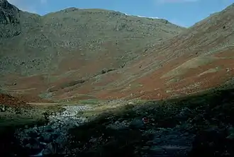
 Blick zum Stake Pass (rechts im Bild) Blick zum Stake Pass (rechts im Bild) | |||
| Himmelsrichtung | Norden | Süden | |
| Verwaltungsgrafschaft | Cumbria | ||
| Wasserscheide | Langstrath Beck | Great Langdale Beck | |
| Talorte | Stonethwaite | Middle Fell Farm | |
| Ausbau | Wanderweg | ||
| Gebirge | Cumbrian Mountains | ||
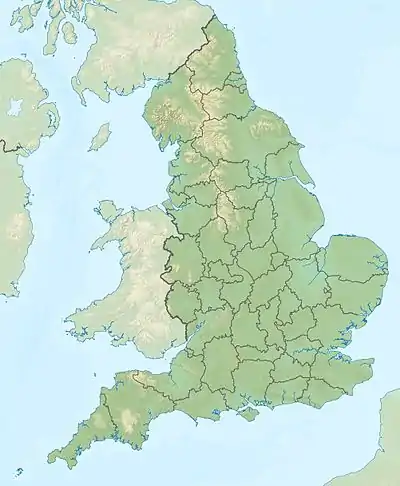
| Karte (Cumbria) | |||
| |||
| Koordinaten | 54° 28′ 12″ N, 3° 8′ 6″ W | ||
Der Pass verbindet über das Tal des Mickleden Beck Great Langdale im Süden, mit Borrowdale im Norden über das Tal des Langstrath Beck. Der Cumbria Way führt über diesen Pass.
Der Stake Gill entspringt südlich des Passes.
Literatur
- Penrith & Keswick, Ambleside (= Landranger Map. Band 90). Ordnance Survey, Southampton 2011, ISBN 978-0-319-23206-4.
This article is issued from Wikipedia. The text is licensed under Creative Commons - Attribution - Sharealike. The authors of the article are listed here. Additional terms may apply for the media files, click on images to show image meta data.
