Somovit Point
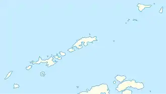
Der Somovit Point (englisch; bulgarisch нос Сомовит nos Somowit) ist eine 500 m lange Landspitze an der Ostküste von Robert Island im Archipel der Südlichen Shetlandinseln. Sie trennt 0,9 km nordnordwestlich des Batuliya Point und 1,1 km südsüdwestlich des Kitchen Point die Kruni Cove von der Tsepina Cove.
| Somovit Point | ||
| Geographische Lage | ||
| ||
| Koordinaten | 62° 24′ S, 59° 21′ W | |
| Lage | Robert Island, Südliche Shetlandinseln | |
| Gewässer | Kruni Cove | |
| Gewässer 2 | Tsepina Cove | |
| Länge | 500 m | |
Bulgarische Wissenschaftler kartierten sie 2009. Die bulgarische Kommission für Antarktische Geographische Namen benannte sie im selben Jahr nach der Ortschaft Somowit im Norden Bulgariens.
Weblinks
- Somovit Point im Composite Gazetteer of Antarctica (englisch)
This article is issued from Wikipedia. The text is licensed under Creative Commons - Attribution - Sharealike. The authors of the article are listed here. Additional terms may apply for the media files, click on images to show image meta data.
