Signal de Mailhebiau
Der Signal de Mailhebiau ist der höchste Gipfel der französischen Landschaft Aubrac. Er liegt auf einer Höhe von 1469 m auf dem Gebiet der Gemeinde Trélans. Der Höhenzug trennt die Départements Aveyron und Lozère. Hier entspringt die Flüsse Bès und Doulou.
| Signal de Mailhebiau | ||
|---|---|---|
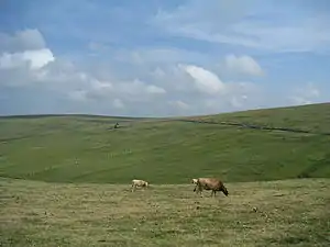
Nordostansicht | ||
| Höhe | 1469 m | |
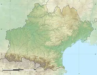
| Lage | Aubrac, Frankreich | |
| Gebirge | Zentralmassiv | |
| Koordinaten | 44° 34′ 1″ N, 3° 4′ 56″ O | |
| ||
Weblinks
- Infos zum Berg (französisch)
This article is issued from Wikipedia. The text is licensed under Creative Commons - Attribution - Sharealike. The authors of the article are listed here. Additional terms may apply for the media files, click on images to show image meta data.