Satus Pass
Der Satus Pass (3.107 ft (947 m) hoch) ist ein Gebirgspass in der Kaskadenkette im US-Bundesstaat Washington. Der Pass verbindet Goldendale und das Klickitat Valley im Süden mit der Yakama Indian Reservation und dem Yakima Valley im Norden. Die Simcoe Mountains liegen westlich des Satus Pass, die Bickleton Ridge in den Horse Heaven Hills östlich.
| Satus Pass | |||
|---|---|---|---|
| Himmelsrichtung | Nord: Yakama Indian Reservation | Süd: Goldendale | |
| Passhöhe | 947 m | ||
| Klickitat County, Washington, Vereinigte Staaten | |||
| Wasserscheide | Yakima River | Klickitat River | |
| Ausbau | U.S. Highway 97 | ||
| Gebirge | Kaskadenkette | ||
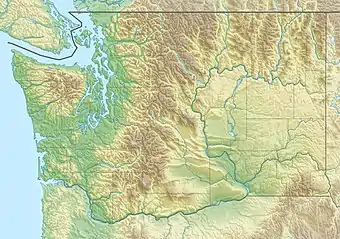
| Karte (Washington) | |||
| |||
| Koordinaten | 45° 59′ 5″ N, 120° 39′ 13″ W | ||
Er wird vom U.S. Highway 97 gequert.
Quellen
- Washington Road and Recreation Atlas. Benchmark Maps, Medford, Oregon, 2000.
This article is issued from Wikipedia. The text is licensed under Creative Commons - Attribution - Sharealike. The authors of the article are listed here. Additional terms may apply for the media files, click on images to show image meta data.