San Esteban (Insel)
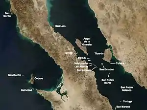
Die Isla San Esteban, auch Isla Turón genannt, ist eine mexikanische Insel im Golf von Kalifornien zwischen der Isla Tiburón und dem Archipel San Lorenzo.
.jpg.webp)
Stacheliges Riesenchuckwalla auf San Esteban
| San Esteban | ||
|---|---|---|
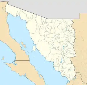
 Inselkarte Golf von Kalifornien | ||
| Gewässer | Golf von Kalifornien | |
| Geographische Lage | 28° 42′ 6″ N, 112° 34′ 29″ W | |
| ||
| Länge | 7,4 km | |
| Breite | 7 km | |
| Fläche | 39,773 km² | |
| Höchste Erhebung | 540 m | |
| Einwohner | unbewohnt | |
San Esteban gehört zum Municipio Hermosillo im Bundesstaat Sonora und ist 39,773 km² groß. Die Insel war früher von einer Gruppe der Seri bewohnt. In deren Sprache Seri heißt sie Coftéecöl /koɸˈtɛːkʷɬ/.
Auf San Esteban gibt es einige endemische Spezies wie das San-Esteban-Chuckwalla (Sauromalus varius), das Stachelige Riesenchuckwalla (Sauromalus hispidus) und den San-Esteban-Schwarzleguan (Ctenosaura conspicuosa).[1]
Seit 2005 gehört die Insel mit 243 anderen im Golf von Kalifornien zum UNESCO-Welterbe.[2]
Quellen
- Unknown island: Seri Indians, Europeans, and San Esteban Island in the Gulf of California, University of New Mexico, Albuquerque
- Mary B. Moser, Stephen A. Marlett, Hrsg.: Comcáac quih yaza quih hant ihíip hac: Diccionario seri-español-inglés, http://lengamer.org/admin/language_folders/seri/user_uploaded_files/links/File/DiccionarioSeri2005.pdf, Universidad de Sonora y Plaza y Valdés Editores, Hermosillo, Sonora
Einzelnachweise
This article is issued from Wikipedia. The text is licensed under Creative Commons - Attribution - Sharealike. The authors of the article are listed here. Additional terms may apply for the media files, click on images to show image meta data.
