San Carlos (Äquatorialguinea)
Der San Carlos ist ein Schildvulkan in Äquatorialguinea. Er befindet sich im Südwesten der Insel Bioko. Er war in den 2000er Jahren als aktiv klassifiziert. Über seine geologische Geschichte ist trotzdem wenig bekannt. Seine große Caldera liegt in der Nähe seines Gipfels. In der Nähe des San Carlos befindet sich der San Joaquin.[1][2][3]
| San Carlos | ||
|---|---|---|
 | ||
| Höhe | 2260 m | |
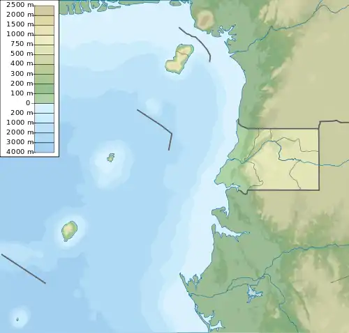
| Lage | Äquatorialguinea | |
| Koordinaten | 3° 21′ 14″ N, 8° 30′ 47″ O | |
| ||
| Typ | Schildvulkan | |
| Gestein | Trachyt und Basalt | |
| Letzte Eruption | unbekannt | |
Einzelnachweise
- Global Volcanism Program | San Carlos. Abgerufen am 31. Juli 2019.
- J. G. Fitton: The Cameroon line, West Africa: a comparison between oceanic and continental alkaline volcanism. In: Geological Society, London, Special Publications. Band 30, Nr. 1, 1987, ISSN 0305-8719, S. 273–291, doi:10.1144/GSL.SP.1987.030.01.13 (lyellcollection.org [abgerufen am 31. Juli 2019]).
- Mitchell-Thomé, Raoul C.: Geology of the South Atlantic islands,. Gebrüder Borntraeger, Berlin 1970, ISBN 3-443-11010-X.
This article is issued from Wikipedia. The text is licensed under Creative Commons - Attribution - Sharealike. The authors of the article are listed here. Additional terms may apply for the media files, click on images to show image meta data.