Salar de Aguas Calientes IV
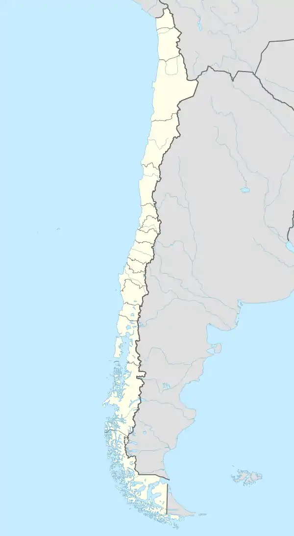
Der Salar de Aguas Calientes IV ist eine geomorphologische Salzpfanne in der Atacamawüste in Nord-Chile die sich durch Trockenfallen eines Gletschersees gebildet hat. Er liegt eingebettet in der Hoch-Puna in der Kommune Antofagasta, etwa 300 km südöstlich vom Stadtgebiet.
| Salar de Aguas Calientes IV | ||
|---|---|---|
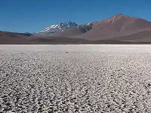 | ||
| Salar de Aguas Calientes IV mit dem Llullaillaco im Hintergrund | ||
| Geographische Lage | Antofagasta, Chile | |
| Abfluss | kein | |
| Ufernaher Ort | Antofagasta | |
| Daten | ||
| Koordinaten | 24° 58′ 43″ S, 68° 38′ 16″ W | |
| ||
| Höhe über Meeresspiegel | 3665 m[1] | |
| Fläche | 155 km2, inklusive offene Wasserflächen und Randflächen mit Vegetation.[1] | |
| Einzugsgebiet | 731 km² [1] | |
Einzelnachweise
- Eduardo Rodríguez Ramírez, Juan Pablo Contreras Rodríguez: Ficha para la designación de nuevo sitio Ramsar Salar de Aguas Calientes IV. Hrsg.: Corporación Nacional Forestal [CONAF], Región de Antofagasta. Antofagasta Februar 2008 (conaf.cl [PDF; 278 kB; abgerufen am 6. Mai 2013]).
This article is issued from Wikipedia. The text is licensed under Creative Commons - Attribution - Sharealike. The authors of the article are listed here. Additional terms may apply for the media files, click on images to show image meta data.