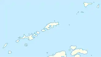
Saffar Island
Saffar Island (englisch; bulgarisch остров Сафар ostrow Safar) ist eine in ost-westlicher Ausrichtung 290 m lange und 230 m breite Insel im Archipel der Südlichen Shetlandinseln. Sie liegt 22,36 km ostsüdöstlich des Kap Yelcho, 5,4 km westsüdwestlich des Point Wild, 360 m nordnordöstlich des Ronalds Point und 880 m nordöstlich von Biruni Islandvor der Nordküste von Elephant Island, von der sie stellenweise in minimaler Entfernung von 325 m getrennt ist.
| Saffar Island | ||
|---|---|---|
| Gewässer | Drake-Straße | |
| Inselgruppe | Südliche Shetlandinseln | |
| Geographische Lage | 61° 6′ 23″ S, 54° 57′ 46″ W | |
| ||
| Länge | 290 m | |
| Breite | 230 m | |
| Fläche | 3,64 ha | |
| Einwohner | unbewohnt | |
Britische Wissenschaftler kartierten sie zuletzt im Jahr 2009. Die bulgarische Kommission für Antarktische Geographische Namen benannte sie im April 2021 nach dem spanisch-arabischen Astronomen Ibn al-Saffar († 1035), dem Autor des ersten Handbuchs in Europa für den Gebrauch des Astrolabiums.
Weblinks
- Bulgarian Antarctic Gazetteer. Eintrag im bulgarischen Ortsverzeichnis für die Antarktis (bulgarisch)
