Robbins Island (Tasmanien)
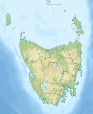
Robbins Island ist eine flache Insel im südwestlichen Teil der Bass-Straße zwischen dem Festland von Australien und der Insel Tasmanien.[1][2] Sie gehört zur Fleurieu-Inselgruppe und liegt 12 km südwestlich von Hunter Island, direkt vor der Nordwestküste von Tasmanien.
| Robbins Island | ||
|---|---|---|
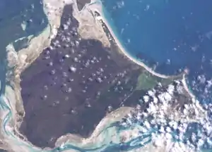
 Satellitenbild von Robbins Island | ||
| Gewässer | Bass-Straße | |
| Inselgruppe | Fleurieu-Gruppe | |
| Geographische Lage | 40° 41′ S, 144° 58′ O | |
| ||
| Länge | 11 km | |
| Breite | 16 km | |
| Fläche | 99 km² | |
| Höchste Erhebung | 43 m | |
| Einwohner | unbewohnt | |
Geographie
Die etwa 99 km² große Insel wird durch die Robbins Passage vom tasmanischen Festland getrennt. Weniger als 50 m vor der Nordspitze liegt das kleine Walker Island.
Einzelnachweise
- Robbins Island, Australia. In: geonames.org. Abgerufen am 7. Mai 2020 (englisch).
- Sailing Directions (enroute): East Coast of Australia and New Zealand, Seite 63 (online)
This article is issued from Wikipedia. The text is licensed under Creative Commons - Attribution - Sharealike. The authors of the article are listed here. Additional terms may apply for the media files, click on images to show image meta data.
