Rivière Nabisipi
Rivière Nabisipi ist ein 158 km langer Fluss in der regionalen Grafschaftsgemeinde Minganie der Verwaltungsregion Côte-Nord in der kanadischen Provinz Québec.
| Rivière Nabisipi | ||
 | ||
| Daten | ||
| Lage | Côte-Nord in Québec (Kanada) | |
| Flusssystem | Rivière Nabisipi | |
| Quelle | nördlich des Lac Saumur 51° 15′ 57″ N, 62° 49′ 10″ W | |
| Quellhöhe | 594 m[1] | |
| Mündung | bei Aguanish in den Sankt-Lorenz-Golf 50° 13′ 59″ N, 62° 13′ 11″ W | |
| Mündungshöhe | 0 m[1] | |
| Höhenunterschied | 594 m | |
| Sohlgefälle | 3,8 ‰ | |
| Länge | 158 km[1] | |
| Einzugsgebiet | 2062 km²[1] | |
| Abfluss[1] | MQ |
64,7 m³/s |
| Durchflossene Seen | Lac Saumur | |
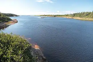
Er hat seinen Ursprung nördlich des Lac Saumur in 594 m Höhe. Er durchfließt den Lac Saumur. Anschließend fließt er in südsüdöstlicher Richtung zum Sankt-Lorenz-Golf, in den er 9 km westlich der Gemeinde Aguanish mündet. Sein Einzugsgebiet umfasst 2062 km², sein mittlerer Abfluss beträgt 64,7 m³/s.[1] Östlich grenzt sein Einzugsgebiet an das des Rivière Aguanish.
Weblinks
Commons: Rivière Nabisipi – Sammlung von Bildern, Videos und Audiodateien
Einzelnachweise
- Bureau d'audiences publiques sur l'environnement (PDF; 103 kB)
This article is issued from Wikipedia. The text is licensed under Creative Commons - Attribution - Sharealike. The authors of the article are listed here. Additional terms may apply for the media files, click on images to show image meta data.