Pootatuck State Forest
Pootatuck State Forest ist ein State Forest auf dem Gebiet der Städte New Fairfield und Sherman. Freizeitmöglichkeiten umfassen Wandern, Jagen, Vogelbeobachtung, Ski-laufen, Snowmobil-fahren.[2] Der Forst ist durch Wanderwege vom östlich angrenzenden Squantz Pond State Park aus zugänglich.[3] Im Westen zieht sich der Park beinahe an bis an die Grenze des Staates New York. Dort schließt sich das Michael Ciaiola Conservation Area an. Der Short Woods Brook entspringt im südlichen Bereich des Forsts und fließt nach Süden, der Worden Brook entspringt im westlichen Teil des Forsts und wendet sich nach Osten zum Squantz Pond hin.
Pootatuck State Forest | ||
| Lage | Sherman (Connecticut), New Fairfield (Connecticut) Fairfield County (Connecticut), USA | |
| Fläche | 4,46 km2 | |
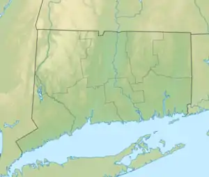
| Geographische Lage | 41° 31′ N, 73° 30′ W | |
| ||
| Verwaltung | Dept. of Energy & Environmental Protection, State of Connecticut[1] | |
Name
Der Name geht zurück auf den gleichnamigen Indianerstamm der Algonkin-Gruppe, der ursprünglich in dem Gebiet heimisch war.
Siehe auch
Einzelnachweise
- Legislative Program Review and Investigations Committee: State Parks and Forests: Funding. Connecticut General Assembly. 23. Januar 2014.
- Connecticut State Forests Seedling Letterbox Series - Clues for Pootatuck State Forest. In: State Parks and Forests. Connecticut Department of Energy and Environmental Protection. Abgerufen am 30. September 2013.
- Pootatuck State Forest. In: State Parks and Forests. Connecticut Department of Energy and Environmental Protection. Abgerufen am 30. September 2013.
Weblinks
- Pootatuck State Forest Connecticut Department of Energy and Environmental Protection
- Pootatuck State Forest Map Connecticut Department of Energy and Environmental Protection