Ponting-Kliff
Das Ponting-Kliff ist ein kantiges Kliff an der Pennell-Küste des ostantarktischen Viktorialands. Es ragt 5 km östlich der gemeinsamen Mündung von Dennistoun-, Nash- und Wallis-Gletscher in die Somow-See auf. In seiner Erscheinung ähnelt es dem benachbarten Meares-Kliff.
| Ponting-Kliff | ||
|---|---|---|
| Lage | Viktorialand, Ostantarktika | |
| Teil des | Transantarktischen Gebirges | |
| ||
| Koordinaten | 71° 12′ S, 168° 21′ O | |
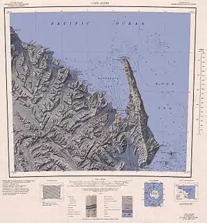
 Karte der Pennell-Küste mit dem Ponting-Kliff (links oben) Karte der Pennell-Küste mit dem Ponting-Kliff (links oben) | ||
Die von Victor Campbell geleitete Nordgruppe der Terra-Nova-Expedition (1910–1913) des britischen Polarforschers Robert Falcon Scott kartierte es. Namensgeber ist Herbert Ponting (1870–1935), Fotograf bei dieser Forschungsreise.
Weblinks
- Ponting Cliff im Geographic Names Information System des United States Geological Survey (englisch)
- Ponting Cliff auf geographic.org (englisch)
This article is issued from Wikipedia. The text is licensed under Creative Commons - Attribution - Sharealike. The authors of the article are listed here. Additional terms may apply for the media files, click on images to show image meta data.
