Ponta de Santo Antônio
Der Ponta de Santo Antônio ist eine Meerenge im brasilianischen Bundesstaat Bahia. Sie ist die nördliche Verbindung zwischen der Allerheiligenbucht (portugiesisch Baía de Todos os Santos) und dem Atlantik. Die etwa 8 Kilometer breite Wasserstraße verläuft zwischen der Stadt Salvador da Bahia und der Ilha de Itaparica. An ihrem Eingang befindet sich der Leuchtturm Barra.
| Ponta de Santo Antônio | ||
|---|---|---|
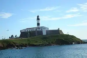 Forte de Santo Antônio da Barra mit Leuchtturm | ||
| Verbindet Gewässer | Allerheiligenbucht | |
| mit Gewässer | Atlantischer Ozean | |
| Trennt Landmasse | Brasilien (Südamerika) | |
| von Landmasse | Insel Itaparica | |
| Daten | ||
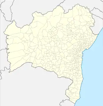
| Geographische Lage | 12° 59′ 0″ S, 38° 34′ 0″ W | |
| ||
| Geringste Breite | 8 km | |
| Küstenorte | Salvador (Bahia) | |
This article is issued from Wikipedia. The text is licensed under Creative Commons - Attribution - Sharealike. The authors of the article are listed here. Additional terms may apply for the media files, click on images to show image meta data.