Ponta Luturo Váti
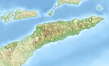
Der Ponta Luturo Váti ist der nördlichste Punkt der Insel Timor.
| Ponta Luturo Váti | ||
| Geographische Lage | ||
| ||
| Koordinaten | 8° 19′ S, 127° 0′ O | |
| Küste | Nordküste Timors | |
| Gewässer | Straße von Wetar | |
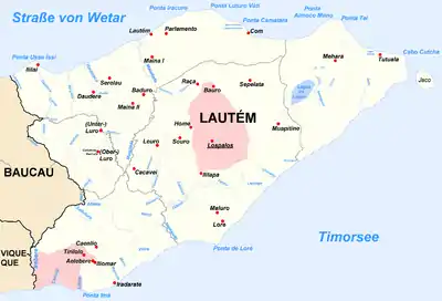
 Karte der osttimoresischen Gemeinde Lautém mit dem Ponta Luturo Váti im Norden | ||
Der Ponta Luturo Váti liegt im osttimoresischen Suco Parlamento. Nur wenig weiter südlich befindet sich der westlich gelegene Ponta Iracuro.[1]
Einzelnachweise
- Karte Osttimors (Memento des Originals vom 12. Juli 2015 im Internet Archive) Info: Der Archivlink wurde automatisch eingesetzt und noch nicht geprüft. Bitte prüfe Original- und Archivlink gemäß Anleitung und entferne dann diesen Hinweis.
This article is issued from Wikipedia. The text is licensed under Creative Commons - Attribution - Sharealike. The authors of the article are listed here. Additional terms may apply for the media files, click on images to show image meta data.
