Pico Basile
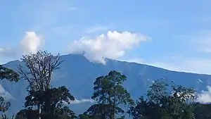
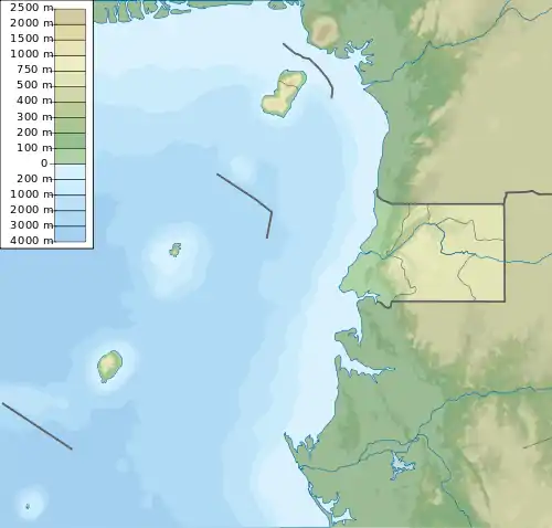
Der Pico Basilé (früher Pico de Santa Isabel) ist der höchste Berg der Insel Bioko, die zu Äquatorialguinea gehört. Mit 3011 m ist er der höchste der drei Schildvulkane, die die Insel bilden. Der Berg liegt nahe der Landeshauptstadt Malabo. Bioko wurde durch dieselbe geologische Verwerfung gebildet wie andere Inseln im Golf von Guinea.
| Pico Basile | ||
|---|---|---|

Gipfel des Pico Basilé | ||
| Höhe | 3011 m | |
| Lage | Bioko, Äquatorialguinea | |
| Koordinaten | 3° 35′ 19″ N, 8° 45′ 45″ O | |
| ||
| Typ | Schildvulkan | |
| Letzte Eruption | 1923 | |
| Besonderheiten | Höchster Berg in Äquatorialguinea | |
Weblinks
- Pico Basile im Global Volcanism Program der Smithsonian Institution (englisch)
This article is issued from Wikipedia. The text is licensed under Creative Commons - Attribution - Sharealike. The authors of the article are listed here. Additional terms may apply for the media files, click on images to show image meta data.
