Pic Kiama
Der Pic Kiama ist ein Berg der Republik Kongo an der Grenze zur Demokratischen Republik Kongo. Er erreicht eine Höhe von 747 m.
| Pic Kiama | ||
|---|---|---|
| Höhe | 747 m | |
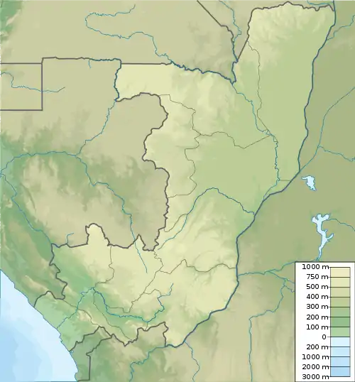
| Lage | Niari, Republik Kongo | |
| Koordinaten | 4° 54′ 50″ S, 13° 25′ 36″ O | |
| ||
Geographie
Der Berg befindet sich im kongolesischen Departement Niari. Er liegt im südlichsten zipfel des Departements an der Grenze zur Demokratischen Republik Kongo. Im Norden schließt sich der Bouloukombo an.[1] Die nächsten Ortschaften sind Mazinga (Louangou) im Norden (Republik Kongo) und Kangu (DR Kongo) im Süden.
This article is issued from Wikipedia. The text is licensed under Creative Commons - Attribution - Sharealike. The authors of the article are listed here. Additional terms may apply for the media files, click on images to show image meta data.