Philip Smith Mountains
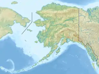
Die Philip Smith Mountains sind ein Gebirgszug der Brookskette in der North Slope von Alaska. Sie erstrecken sich vom Sagavanirktok River und North Fork Chandalar River im Südwesten bis zum Canning River und East Fork Chandalar River im Nordosten.
| Philip Smith Mountains | ||
|---|---|---|
| Höchster Gipfel | Accomplishment Peak (2452 m) | |
| Lage | Alaska (USA) | |
| Teil der | Brookskette | |
| ||
| Koordinaten | 68° 20′ N, 148° 0′ W | |
Der höchste Berg der Philip Smith Mountains ist der Accomplishment Peak mit 2452 m. Sieben der zehn höchsten Gipfel des Gebirgszugs haben keinen Namen.
Die Bergkette wurde 1950 vom United States Geological Survey (USGS) nach Philip Sidney Smith (1877–1949), einem Geologen des USGS, benannt.
Weblinks
- Philip Smith Mountains auf Peakbagger.com (englisch)
- Philip Smith Mountains im Geographic Names Information System des United States Geological Survey
This article is issued from Wikipedia. The text is licensed under Creative Commons - Attribution - Sharealike. The authors of the article are listed here. Additional terms may apply for the media files, click on images to show image meta data.