Paso Espinosa
| Paso Espinosa | ||
|---|---|---|
|
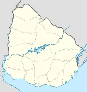
Paso Espinosa auf der Karte von Uruguay | ||
| Basisdaten | ||
| Staat | Uruguay | |
| Departamento | Canelones | |
| Einwohner | 333 (2011) | |
| Detaildaten | ||
 | ||
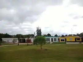
Paso Espinosa ist eine Ortschaft in Uruguay.
Geographie
Sie befindet sich im Westen des Departamento Canelones in dessen Sektor 1. Paso Espinosa grenzt dabei an die südlich gelegene Departamento-Hauptstadt Canelones rechtsseitig des Arroyo Canelón Chico, der die beiden voneinander trennt.
Infrastruktur
Durch die Ortschaft führen die Ruta 5 und die Ruta 62.
Einwohner
Die Einwohnerzahl von Paso Espinosa beträgt 333. (Stand: 2011)[1] Für die vorhergehenden Volkszählungen der Jahre 1963, 1975 und 1985 sind beim Instituto Nacional de Estadística de Uruguay keine Daten erfasst worden.
| Jahr | Einwohner |
|---|---|
| 1963 | - |
| 1975 | - |
| 1985 | - |
| 1996 | 274 |
| 2004 | 305 |
| 2011 | 333 |
Weblinks
- Stadtplan von Paso Espinosa (PDF; 77 kB)
Einzelnachweise
- Statistische Daten des Instituto Nacional de Estadística de Uruguay, abgerufen am 31. Oktober 2013
- Statistische Daten des Instituto Nacional de Estadística de Uruguay 1963–1996 (DOC; 148 kB)
- Statistische Daten des Instituto Nacional de Estadística de Uruguay – Stand 2004 (MS Excel; 75 kB), abgerufen am 24. Oktober 2010
This article is issued from Wikipedia. The text is licensed under Creative Commons - Attribution - Sharealike. The authors of the article are listed here. Additional terms may apply for the media files, click on images to show image meta data.
