Orangozinho
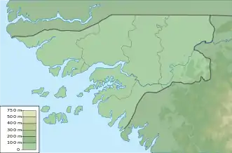
Orangozinho ist eine 107 km² große, bewohnte Insel des Bissagos-Archipels, der zu Guinea-Bissau gehört. Verwaltungsmäßig gehört sie zum Sektor Bubaque.
| Orangozinho | ||
|---|---|---|
| Gewässer | Atlantischer Ozean | |
| Inselgruppe | Bissagos-Archipel | |
| Geographische Lage | 11° 7′ N, 15° 56′ W | |
| ||
| Länge | 19 km | |
| Breite | 11,8 km | |
| Fläche | 107 km² | |
| Hauptort | Abene | |
Sie ist von den westlich gelegenen Inseln Canogo (Nordwesten) und Menegue auf die ganze Länge von 18 Kilometern nur durch einen schmalen, 400 bis 2000 Meter breiten Meeresarm getrennt.
Weblinks
- Bilder der Insel (englisch)
- Orangozinho in der UNEP Islands Directory (englisch)
This article is issued from Wikipedia. The text is licensed under Creative Commons - Attribution - Sharealike. The authors of the article are listed here. Additional terms may apply for the media files, click on images to show image meta data.
