Myrkavatn
Der Myrkavatn ist ein See im Westen Islands.
| Myrkavatn | ||
|---|---|---|
| Geographische Lage | Island | |
| Abfluss | Öxará | |
| Daten | ||
| Koordinaten | 64° 19′ 37″ N, 21° 14′ 35″ W | |
| ||
| Höhe über Meeresspiegel | 419 m | |
Geografie
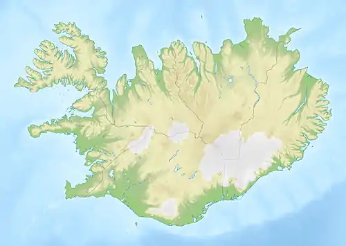
Der Myrkavatn liegt auf einer Höhe von rund 419 m im Nordosten der Gemeinde Kjós an der Grenze zu Bláskógabyggð, südwestlich des Botnssúlur und des kleineren Sees Sandvatn. Südlich des Myrkavatn liegt der Berg Búrfell, westlich Kjalarhorn. Die Öxará ist ein Abfluss des Sees; sie fließt nach Südosten im nach ihr benannten Öxarárdalur.
This article is issued from Wikipedia. The text is licensed under Creative Commons - Attribution - Sharealike. The authors of the article are listed here. Additional terms may apply for the media files, click on images to show image meta data.