Mount Bushnell State Park
Mount Bushnell State Park ist ein State Park im US-Bundesstaat Connecticut auf dem Gebiet der Gemeinde Washington, südlich des Lake Waramaug. Im Park kann man wandern, doch gibt es nur wenig Informationen und kaum Ausblicke auf den See.[3]
Mount Bushnell State Park | ||
 | ||
| Lage | Washington, Middlesex County, USA[1] | |
| Fläche | 0,87 km2[2] | |
| WDPA-ID | 55557994 | |
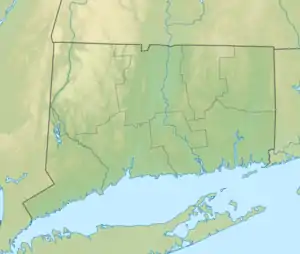
| Geographische Lage | 41° 41′ N, 73° 22′ W | |
| ||
| Einrichtungsdatum | 1998 | |
| Verwaltung | Dept. of Energy & Environmental Protection, Connecticut State | |
Geographie
Der Mount Bushnell State Park erstreckt sich auf 87 ha (247 acre) über die Berge südlich des Lake Waramaug. Der nächstgelegene State Park ist der Lake Waramaug State Park auf der gegenüberliegenden Seite (Nordwesten) des Sees. Weiter westlich liegt das Iron Mountain Preserve. Die höchsten Erhebungen im Park sind der Mount Bushnell mit 359 m (1178 ft) und der Tinker Hill mit 320 m (1050 ft) über dem Meer, die sich mehr als 100 m über dem Südufer des Lake Waramaug erheben.
Siehe auch
Einzelnachweise
- Geographic Names Information System. United States Geological Survey.
- State Parks and Forests: Finanzierung, Mitarbeitergewinnung und Empfehlungen. (PDF)
- Mount Bushnell State Park. In: State Parks and Forests. Connecticut Department of Energy and Environmental Protection. Abgerufen am 5. Februar 2013.
This article is issued from Wikipedia. The text is licensed under Creative Commons - Attribution - Sharealike. The authors of the article are listed here. Additional terms may apply for the media files, click on images to show image meta data.