Mount Bates (Norfolkinsel)
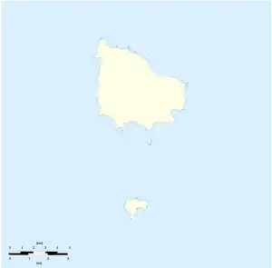
Der Mount Bates ist mit 319 m die höchste Erhebung der östlich von Australien im Pazifik gelegenen Norfolkinsel einschließlich ihrer beiden unbewohnten Nebeninseln Nepean Island und Phillip Island.[1][2]
| Mount Bates | ||
|---|---|---|
| Höhe | 319 m [1][2] | |
| Lage | Norfolkinsel, Australien | |
| Koordinaten | 29° 0′ 41″ S, 167° 56′ 24″ O | |
| ||
| Gestein | Vulkanit | |
Die Erhebung liegt im Norfolk-Island-Nationalpark und besteht wie die gesamte Insel aus Vulkanit. Auf den mit Norfolk-Tannen (englisch Norfolk Island Pines) bedeckten Berg führt ein Wanderweg, der bis zur Bergkuppe aus hölzernen Stufen besteht.[3]
Einzelnachweise
- Norfolk Island. In: Encyclopædia Britannica. Abgerufen am 12. Oktober 2017 (englisch).
- Mount Bates, Norfolk Island auf Peakbagger.com (englisch). Abgerufen am 12. Oktober 2017
- National Parks. Mt Bates. In: norfolkisland.com.au. Norfolk Island Tourism, abgerufen am 12. Oktober 2017 (englisch).
This article is issued from Wikipedia. The text is licensed under Creative Commons - Attribution - Sharealike. The authors of the article are listed here. Additional terms may apply for the media files, click on images to show image meta data.