Monts Otish
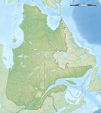
Die Monts Otish bilden ein Gebirge im Zentrum der Labrador-Halbinsel in der kanadischen Provinz Québec. Die höchste Erhebung stellt der Mont Yapeitso, 160 km nordöstlich des Lac Mistassini, mit 1135 m dar. Das Gebirge hat eine Ausdehnung von 50 km auf 20 km.[1] Auf den Gipfeln herrscht alpine Vegetation vor.
| Monts Otish | ||
|---|---|---|
 Blick über den Rivière Eastmain auf die Monts Otish Blick über den Rivière Eastmain auf die Monts Otish | ||
| Höchster Gipfel | Mont Yapeitso (1135 m) | |
| Lage | Québec (Kanada) | |
| ||
| Koordinaten | 52° 19′ N, 70° 36′ W | |
Mehrere größere Flüsse haben ihren Ursprung in dem Gebirge: Rivière Eastmain im Westen, Rivière Témiscamie, Rivière Péribonka und Rivière aux Outardes im Süden.
Einzelnachweise
- Commission de toponymie du Québec - Monts Otish
This article is issued from Wikipedia. The text is licensed under Creative Commons - Attribution - Sharealike. The authors of the article are listed here. Additional terms may apply for the media files, click on images to show image meta data.
