Melvern Lake
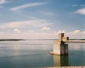
Der Melvern Lake ist ein Stausee im US-Bundesstaat Kansas.
| Melvern Lake | |||||||||
|---|---|---|---|---|---|---|---|---|---|
 Melvern Lake | |||||||||
| |||||||||
| |||||||||
| Koordinaten | 38° 29′ 23″ N, 95° 47′ 57″ W | ||||||||
| Daten zum Bauwerk | |||||||||
| Sperrentyp: | Erdschüttdamm mit Lehmkern | ||||||||
| Bauzeit: | 1967–1972 | ||||||||
| Höhe über Talsohle: | 35,9 m | ||||||||
| Kronenlänge: | 2 941 m | ||||||||
| Betreiber: | US Army Corps of Engineers, Kansas City District | ||||||||
| Daten zum Stausee | |||||||||
| Höhenlage (bei Stauziel) | 316 m | ||||||||
| Wasseroberfläche | 56,454 km² | ||||||||
| Maximale Tiefe | 22,6 m | ||||||||
| Einzugsgebiet | 904 km² | ||||||||
Geographie
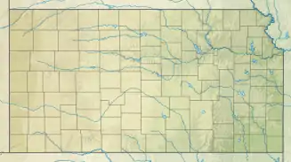
Der See liegt im Osage County südlich der Stadt Osage City. Er staut mittels eines 3 km langen Staudamms des U.S. Army Corps of Engineers den Marais des Cygnes River.[1]
Sonstiges
Am See befinden sich die Naherholungsgebiete Eisenhower State Park und Turkey Point.
Weblinks
- Melvern Lake im Geographic Names Information System des United States Geological Survey
- Melvern Lake bei US Army Corps of Engineers, Kansas City District
Einzelnachweise
- Melvern Lake, Kansas (PDF, 2,4 MB) US Army Corps of Engineers, Kansas City District. Abgerufen am 8. Dezember 2017.
This article is issued from Wikipedia. The text is licensed under Creative Commons - Attribution - Sharealike. The authors of the article are listed here. Additional terms may apply for the media files, click on images to show image meta data.
