Matapia Island
Matapia Island ist eine Insel im Far North District der Region Northland auf der Nordinsel Neuseelands.
| Matapia Island | ||
|---|---|---|
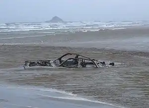 Ninety Mile Beach, im Hintergrund Matapia Island | ||
| Gewässer | Tasmansee | |
| Geographische Lage | 34° 36′ 21,7″ S, 172° 47′ 54,9″ O | |
| ||
| Länge | 210 m | |
| Breite | 170 m | |
| Fläche | 3 ha | |
| Höchste Erhebung | 53 m | |
| Einwohner | unbewohnt | |
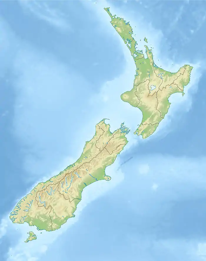
Die Insel liegt in der Tasmansee etwa 1,2 km nordwestlich vor der Ninety Mile Beach. Sie ist etwa 210 m lang und 170 m breit und erreicht eine Höhe von 53 m.
Weblinks
This article is issued from Wikipedia. The text is licensed under Creative Commons - Attribution - Sharealike. The authors of the article are listed here. Additional terms may apply for the media files, click on images to show image meta data.