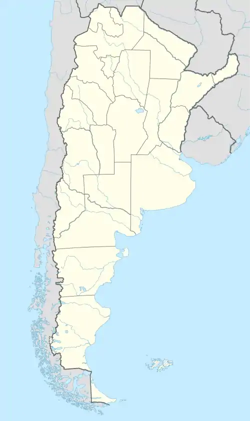
Matancillas de San Antonio
Matancillas de San Antonio (auch einfach Matancillas) ist ein kleines Dorf im Nordwesten Argentiniens. Es gehört zum Departamento Iruya in der Provinz Salta und liegt in 1520 m Höhe, am Fluss Iruya, etwa 40 km vom Dorf Iruya entfernt.[1]
| Basisdaten | |||
|---|---|---|---|
| Lage | 22° 50′ S, 64° 55′ W | ||
| Höhe ü. d. M.: | 1520 m | ||
| |||
| Verwaltung | |||
| Provinz: | |||
| Departamento: | Iruya | ||
| Gemeinde: | Iruya | ||
| Sonstiges | |||
| Postleitzahl: | A4633 | ||
Das Klima in Matancillas ist subtropisch.[2]
Das Dorf hat eine Schule mit etwa 55 Schülern, eine Krankenstation und eine Kapelle.[3]
Siehe auch
- Matancillas del Valle Delgado
Einzelnachweise
This article is issued from Wikipedia. The text is licensed under Creative Commons - Attribution - Sharealike. The authors of the article are listed here. Additional terms may apply for the media files, click on images to show image meta data.
