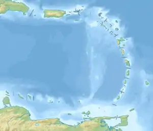
Martinique Channel
Der Martinique-Kanal (englisch Martinique Channel) ist eine Meerenge des Karibischen Meeres, die St. Vincent und die Grenadinen von Grenada trennt.[1] Die Wasserstraße ist nicht zu verwechseln mit der Martinique-Passage (Dominica Channel) zwischen Dominica und Martinique weiter nördlich.
| Martinique Channel | ||
|---|---|---|
| Verbindet Gewässer | Karibisches Meer | |
| mit Gewässer | Atlantischer Ozean | |
| Trennt Landmasse | St. Vincent und die Grenadinen | |
| von Landmasse | Grenada | |
| Daten | ||
| Geographische Lage | 12° 34′ 0″ N, 61° 25′ 0″ W | |
| ||
Geographie
Die Meeresstraße verläuft von Osten nach Westen zwischen den Inseln Petite Martinique, Petit St. Vincent, Fota, Union Island, Prune Island und Carriacou.[2][3][4][5]
Einzelnachweise
- Martinique Channel: Saint Vincent and the Grenadines National Geospatial-Intelligence Agency, Bethesda, MD, USA
- Martinique Channel bei GeoNames geonames.org. Abgerufen am 4. Februar 2021.
- Weather forecast for Martinique Channel (Saint Vincent and the Grenadines) Norwegian Meteorological Institute and the Norwegian Broadcasting Corporation.
- Satellite map of Martinique Channel Latitude.to
- vc.geoview.info. Abgerufen am 4. Februar 2021.
Weblinks
- Skirting the Martinique Channel between the two Grenadines. uncommoncaribbean.com
This article is issued from Wikipedia. The text is licensed under Creative Commons - Attribution - Sharealike. The authors of the article are listed here. Additional terms may apply for the media files, click on images to show image meta data.
