Mangrullo - Pueblo Leonico Rivero
Mangrullo - Pueblo Leonico Rivero, auch schlicht als Mangrullo bezeichnet, ist eine Ortschaft in Uruguay.
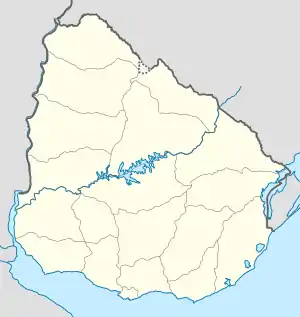
| Mangrullo - Pueblo Leonico Rivero | ||
|---|---|---|
|
Mangrullo - Pueblo Leonico Rivero auf der Karte von Uruguay | ||
| Basisdaten | ||
| Staat | Uruguay | |
| Departamento | San José | |
| Einwohner | 81 (2011) | |
| Detaildaten | ||
Geographie
Mangrullo - Pueblo Leonico Rivero befindet sich auf dem Gebiet des Departamento San José in dessen Sektor 6. Ansiedlungen in der Nähe sind im Nordwesten Rincón del Pino, im Nordosten Rafael Perazza und Villa María sowie Radial im Südosten. Das Gebiet südlich des Ortes trägt die Bezeichnung Cuchilla San Miguel.
Infrastruktur
Mangrullo - Pueblo Leonico Rivero liegt rund zwei Kilometer westlich der Ruta 1.
Einwohner
Die Einwohnerzahl von Mangrullo - Pueblo Leonico Rivero beträgt 81 (Stand: 2011), davon 42 männliche und 39 weibliche.[1] Für die vorhergehenden Volkszählungen der Jahre 1963, 1975, 1985 und 1996 sind beim Instituto Nacional de Estadística de Uruguay keine Daten erfasst worden.
| Jahr | Einwohner |
|---|---|
| 1963 | - |
| 1975 | - |
| 1985 | - |
| 1996 | - |
| 2004 | 85 |
| 2011 | 81 |
Weblinks
- Stadtplan von Mangrullo - Pueblo Leonico Rivero (PDF; 76 kB)