Maga (Kamerun)
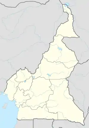
Maga ist eine Gemeinde in der Provinz Extrême-Nord, die die nördliche Spitze Kameruns bildet. Sie liegt am Fluss Logone und an der Grenze zum Tschad. Maga liegt im Bezirk Mayo-Danay. Zentraler Punkt im Gemeindegebiet bildet der Stausee Maga-Damm.
| Maga | |||
|---|---|---|---|
| |||
| Koordinaten | 10° 51′ N, 14° 56′ O | ||
| Basisdaten | |||
| Staat | Kamerun | ||
| Extrême-Nord | |||
| Bezirk | Mayo-Danay | ||
| Höhe | 307 m | ||
| Einwohner | 85.000 (2005) | ||
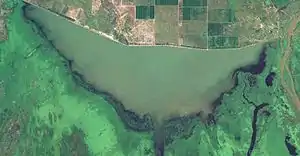 Der Maga-Stausee Der Maga-Stausee | |||
Verkehr
Maga liegt an der Provenzialstraße P3.
Bilder
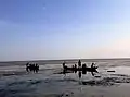 am Stausee
.jpg.webp) im Stausee
im Stausee
Weblinks
- Maga bei citypopulation.de
This article is issued from Wikipedia. The text is licensed under Creative Commons - Attribution - Sharealike. The authors of the article are listed here. Additional terms may apply for the media files, click on images to show image meta data.