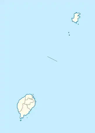
M. Vilela (São Tomé)
M. Vilela (Montanha Vilela?) ist ein Ort (aldeia) im Hinterland des Distrikts Lembá auf der Insel São Tomé im Inselstaat São Tomé und Príncipe.
| M. Vilela M. Vilela | |||
|---|---|---|---|
| |||
| Koordinaten | 0° 17′ N, 6° 34′ O | ||
| Basisdaten | |||
| Staat | São Tomé und Príncipe | ||
| Lembá | |||
| Höhe | 760 m | ||
Geographie
Der Ort liegt auf einer Höhe von ca. 760 m etwa zwei Kilometer westlich von N. Ceilão, mitten zwischen den höchsten Gipfeln von São Tomé.[1] Im Umkreis liegen Provaz (976 m), Calvário (1225 m), Pinheiro (1306 m) und Pico de São Tomé (2024 m). Das Tal, in dem M. Vilela liegt öffnet sich nach Norden und führt nach Ponta Figo.
This article is issued from Wikipedia. The text is licensed under Creative Commons - Attribution - Sharealike. The authors of the article are listed here. Additional terms may apply for the media files, click on images to show image meta data.
