Lomas de Carrasco
Lomas de Carrasco ist eine Ortschaft in Uruguay.
| Lomas de Carrasco | ||
|---|---|---|
|
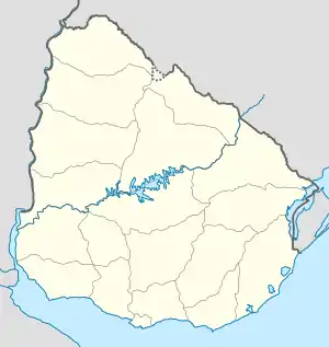
Lomas de Carrasco auf der Karte von Uruguay | ||
| Basisdaten | ||
| Staat | Uruguay | |
| Departamento | Canelones | |
| Einwohner | 806 (2011) | |
| Detaildaten | ||
Geographie
Sie befindet sich im südlichen Teil des Departamento Canelones in dessen Sektor 37. Lomas de Carrasco liegt dabei zwischen dem Küstenort Lomas de Solymar bzw. Colinas de Solymar im Südosten und Barros Blancos bzw. Villa El Tato im Nordwesten. Westlich grenzen La Tahona bzw. Carmel an. Die südöstliche Stadtgrenze Lomas de Carrascos bildet der dort verlaufende Arroyo de Escobar. In südwestlicher Richtung liegt in einigen Kilometern Entfernung das Gelände des Aeropuerto Internacional de Carrasco.
Einwohner
Die Einwohnerzahl von Lomas de Carrasco beträgt 806 (Stand 2011).[1] Für die Volkszählungen von 1963 bis 1996 sind beim Instituto Nacional de Estadística de Uruguay keine Daten erfasst worden.
| Jahr | Einwohner |
|---|---|
| 1963 | - |
| 1975 | - |
| 1985 | - |
| 1996 | - |
| 2004 | 332 |
| 2011 | 806 |
Weblinks
- Stadtplan von Lomas de Carrasco (PDF; 108 kB)
Einzelnachweise
- Statistische Daten des Instituto Nacional de Estadística de Uruguay, abgerufen am 4. Juli 2013
- Statistische Daten des Instituto Nacional de Estadística de Uruguay 1963–1996 (DOC; 123 kB)
- Statistische Daten des Instituto Nacional de Estadística de Uruguay – Stand 2004 (MS Excel; 75 kB), abgerufen am 24. Oktober 2010
This article is issued from Wikipedia. The text is licensed under Creative Commons - Attribution - Sharealike. The authors of the article are listed here. Additional terms may apply for the media files, click on images to show image meta data.
