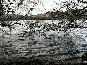
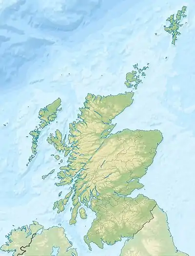
Loch of the Lowes (Perth and Kinross)
Loch of the Lowes, auch Loch of Lowes, ist ein Süßwassersee in den schottischen Highlands. Der See liegt in der Council Area Perth and Kinross in der Nähe der Kleinstadt Dunkeld.
| Loch of the Lowes | ||
|---|---|---|
 | ||
| Loch of the Lowes | ||
| Geographische Lage | Perth and Kinross, Schottland | |
| Zuflüsse | Lunan Burn | |
| Abfluss | Lunan Burn | |
| Ufernaher Ort | Dunkeld | |
| Daten | ||
| Koordinaten | 56° 34′ 40″ N, 3° 33′ 0″ W | |
| ||
| Höhe über Meeresspiegel | 101 m ASL[1] | |
| Fläche | 88 ha[1] | |
| Länge | 1,55 km[2] | |
| Breite | 840 m[2] | |
| Volumen | 5.447.739 m³ [1] | |
| Umfang | 4 km[1] | |
| Maximale Tiefe | 16,2 | |
| Mittlere Tiefe | 6,2[1] | |
| Einzugsgebiet | 15,46 km²[1] | |
Loch of the Lowes ist circa 1,55 km lang und 840 m breit. Die Wasseroberfläche umfasst knapp 1 km². Der See und das umliegende Gelände sind ein Naturschutzgebiet, das von seltenen Vogelarten wie z. B. dem Fischadler als Brutplatz genutzt wird. Darüber hinaus dient der See Zugvögeln – insbesondere Graugänsen – als Rastplatz. Das Gelände um den See ist reich an Damhirschen und an Rehen. Loch of the Lowes ist nur über Nebenstraßen von der A923 aus zu erreichen. Rund zwei Kilometer südöstlich des Sees befindet sich die Steinreihe auf der East Cult Farm.[3]
Weblinks
Commons: Loch of the Lowes – Sammlung von Bildern, Videos und Audiodateien
Einzelnachweise
- Information des UK Centre for Ecology and Hydrology
- Messung auf Google Maps
- Eintrag zu East Cult in Canmore, der Datenbank von Historic Environment Scotland (englisch)
This article is issued from Wikipedia. The text is licensed under Creative Commons - Attribution - Sharealike. The authors of the article are listed here. Additional terms may apply for the media files, click on images to show image meta data.