Loch Enoch
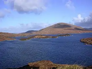
Loch Enoch ist ein Süßwassersee in den schottischen Lowlands. Er liegt etwa 20 km nordwestlich von New Galloway in der Council Area Dumfries and Galloway im Galloway Forest Park. Der See wird von keiner Straße erschlossen.
| Loch Enoch | ||
|---|---|---|
 | ||
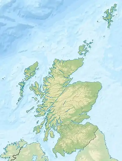
| Geographische Lage | Dumfries and Galloway, Schottland | |
| Abfluss | Eglin Lane → Loch Doon | |
| Daten | ||
| Koordinaten | 55° 8′ 10″ N, 4° 26′ 20″ W | |
| ||
| Höhe über Meeresspiegel | 493 m ASL | |
| Fläche | 50 ha | |
| Maximale Tiefe | 36 m | |
Loch Enoch hat eine Form, die entfernt an ein vierblättriges Kleeblatt erinnert. Im See befinden sich mehrere Inseln. Loch Enoch liegt auf einer Höhe von 493 m und verfügt über eine maximale Tiefe von circa 36 m. Die Oberfläche umfasst ungefähr 0,5 km², das Einzugsgebiet ist circa 1,9 km² groß. Der See entwässert über die Eglin Lane, die in Loch Doon mündet. Das umliegende Gelände ist bei Wanderern sehr beliebt.
Weblinks
Commons: Loch Enoch – Sammlung von Bildern, Videos und Audiodateien
This article is issued from Wikipedia. The text is licensed under Creative Commons - Attribution - Sharealike. The authors of the article are listed here. Additional terms may apply for the media files, click on images to show image meta data.