Liste der Nationalparks in Chile
In Chile gibt es gegenwärtig (Juli 2019) 41 Nationalparks. Sie werden, wie auch diverse andere Schutzgebiete, von der Nationalen Forstverwaltung CONAF verwaltet.
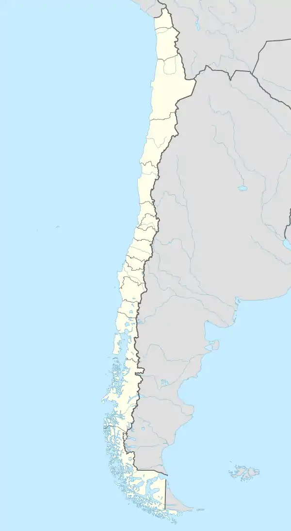 Liste der Nationalparks in Chile (Chile)
| ||||||||||||||||||
Nationalparks in Chile Große Karte: Chile, kleine Karte: Osterinsel |
| Nationalpark | Ansicht | Region | Gründung[1] | Fläche (in km²)[1] | Besucher (2017)[2] |
|---|---|---|---|---|---|
| Alberto de Agostini | 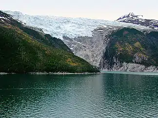 |
1965 | 14.600,00 | ||
| Alerce Andino | 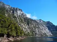 |
1982 | 392,25 | 27.922 | |
| Alerce Costero | 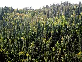 |
2010 | 193,75 | 2.640 | |
| Bernardo O'Higgins | 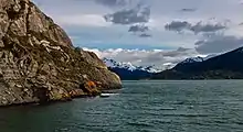 |
1969 | 35.259,01 | 35.454 | |
| Bosque Fray Jorge | 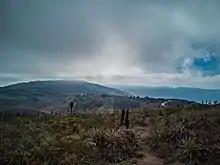 |
1941 | 99,59 | 5.456 | |
| Cerro Castillo | 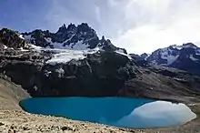 |
1970 | 1.435,02 | 2.989 | |
| Chiloé | 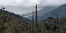 |
1982 | 425,67 | 45.782 | |
| Conguillío | 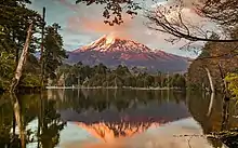 |
1950 | 608,32 | 92.972 | |
| Corcovado | 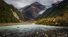 |
2005 | 4.000,11 | ||
| Hornopirén | 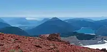 |
1988 | 661,96 | 1.122 | |
| Huerquehue | 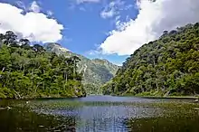 |
1967 | 125,00 | 47.027 | |
| Isla Guamblin | 1967 | 106,25 | |||
| Isla Magdalena | 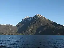 |
1983 | 2.497,12 | 0 | |
| Juan-Fernández-Archipel | .jpg.webp) |
1935 | 91,74 | 3.638 | |
| Kap Hoorn | 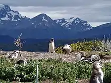 |
1945 | 630,93 | 5.012 | |
| Kawésqar | 2019 | 28.423,29 | |||
| La Campana | 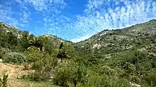 |
1967 | 80,00 | 50.109 | |
| Laguna del Laja | 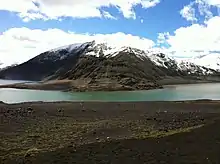 |
1958 | 116,00 | 76.253 | |
| Laguna San Rafael | 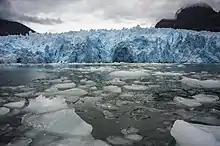 |
1959 | 17.420,00 | 8.188 | |
| Las Palmas de Cocalán | 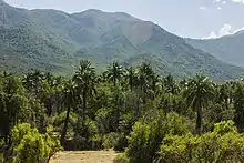 |
1972 | 37,09 | ||
| Lauca | 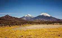 |
1970 | 1.378,83 | 14.200 | |
| Llanos de Challe | 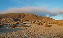 |
1994 | 457,08 | 11.285 | |
| Llullaillaco | 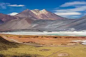 |
1995 | 2.686,71 | ||
| Melimoyu | .jpg.webp) |
2018 | 1.055,00 | ||
| Morro Moreno | .jpeg.webp) |
2010 | 73,14 | 4.253 | |
| Nahuelbuta | 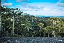 |
1939 | 68,32 | 21.086 | |
| Nevado Tres Cruces | 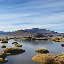 |
1994 | 590,82 | 1.283 | |
| Pali Aike | 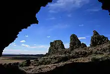 |
1970 | 50,30 | 3.150 | |
| Pan de Azúcar | 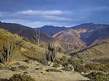 |
1985 | 437,54 | 9.525 | |
| Patagonia | 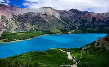 |
2018 | 3.045,28 | ||
| Pumalín | 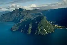 |
2018 | 4.023,92 | ||
| Puyehue | 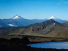 |
1941 | 1.067,57 | 137.771 | |
| Queulat | 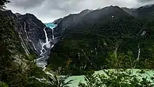 |
1983 | 1.540,93 | 50.215 | |
| Radal Siete Tazas | 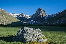 |
2008 | 41,38 | ||
| Rapa Nui | 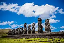 |
1935 | 69,08 | 60.856 | |
| Tolhuaca | 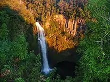 |
1935 | 63,74 | 8.869 | |
| Torres del Paine | 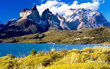 |
1959 | 1.814,14 | 264.800 | |
| Vicente Pérez Rosales | 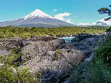 |
1926 | 2.535,68 | 537.207 | |
| Villarrica | 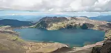 |
1912 | 534,60 | 64.983 | |
| Volcán Isluga | 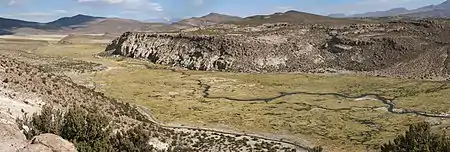 |
1967 | 1.747,44 | 239 | |
| Yendegaia | 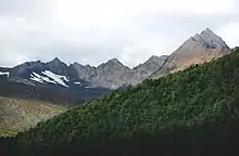 |
2013 | 1.505,87 |
Einzelnachweise
- LISTADO OFICIAL DE ÁREAS SILVESTRES PROTEGIDAS DEL ESTADO. Februar 2019, abgerufen am 24. Juli 2019 (.es).
- Estadística Visitantes Unidad SNASPE. 27. März 2018, abgerufen am 24. Juli 2019 (.es).
Weblinks
- CONAF Offizielle Informationsseite der Corporación Nacional Forestal zu den Nationalparks (span.)
- chileaktiv.com Informationsportal für Reisen nach Chile
- La Red de Parques de la Patagonia suma 4,5 millones de hectáreas protegidas para Chile Offizielle Information der chilenischen Regierung
This article is issued from Wikipedia. The text is licensed under Creative Commons - Attribution - Sharealike. The authors of the article are listed here. Additional terms may apply for the media files, click on images to show image meta data.
