Lewis-Pass (Südgeorgien)
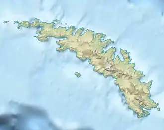
Der Lewis-Pass ist ein etwa 200 m hoch gelegener Gebirgspass auf Südgeorgien. Er befindet sich auf der Thatcher-Halbinsel und verbindet dort das Maidalen mit dem südsüdöstlich gelegenen Bore Valley.
| Lewis-Pass | |||
|---|---|---|---|
| Himmelsrichtung | Nordnordwest (Maidalen) |
Südsüdost (Bore Valley) | |
| Passhöhe | 200 m | ||
| Lage | Südgeorgien, Südatlantik | ||
| Karte | |||
| |||
| Koordinaten | 54° 16′ 12″ S, 36° 30′ 13″ W | ||
Das UK Antarctic Place-Names Committee benannte ihn 1991 nach dem britischen Pflanzenökologen Ronald Ian Lewis Smith (* 1942) vom British Antarctic Survey, der ab den 1960er Jahren in zahlreichen Kampagnen umfassende botanische Studien auf Südgeorgien, auf den Südlichen Orkneyinseln und auf der Antarktischen Halbinsel durchführte.
Weblinks
- Lewis Pass im Geographic Names Information System des United States Geological Survey (englisch)
- Lewis Pass auf geographic.org (englisch)
This article is issued from Wikipedia. The text is licensed under Creative Commons - Attribution - Sharealike. The authors of the article are listed here. Additional terms may apply for the media files, click on images to show image meta data.
